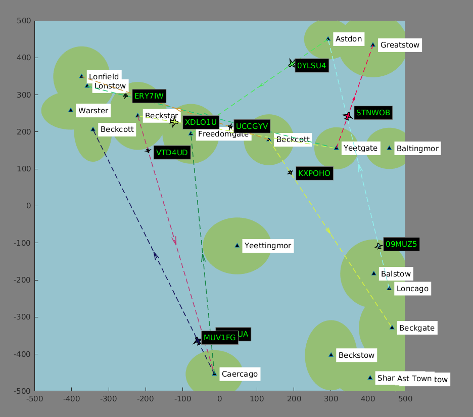
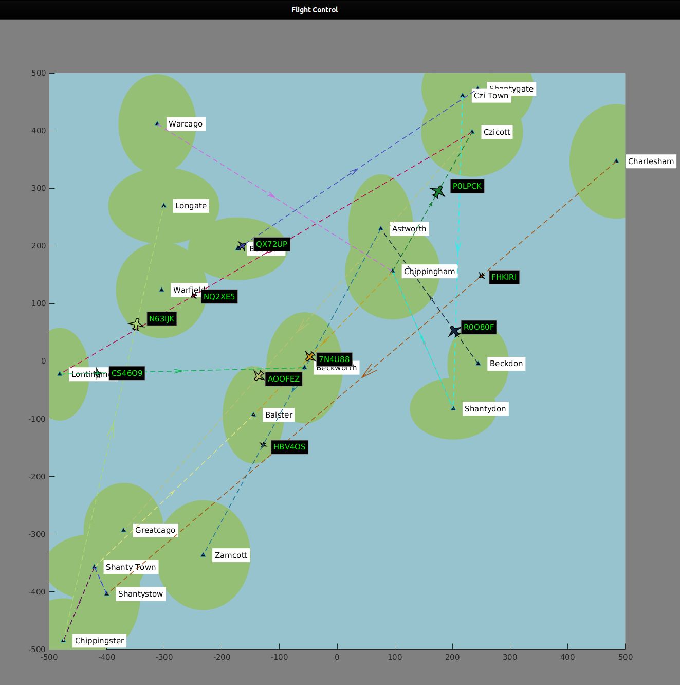
A set of functions simulating flight control in a Matlab figure. The application generates and animates a map with islands and creates flights between the cities of those islands.
Run the run.m script in the project directory. For flavour, change the N (cities count), MapSize (square side length of the map) and MaxFlights (the amount of maximum flights going on at once) variables in the run.m script.
Click the left mouse button to toggle a speed-up of flights.
run.m
The bread and butter of the project. This script prepares the map, flights and runs the animation loop.
function [ax, x, y] = map(fh, MapSize, N)
Creates a square map of side length 2 x MapSize. City points are generated and islands are created for each city point.
function island = island(ax, xi, yi, type)
Function plots random sized islands at given coordinates. This may be created in various modes (circle, polygon, trigonometric) to achieve various results.
function cities = city(N)
Function creates a N-sized list of random city names.
function [aph, dest, direction] = course(CityX, CityY)
Create an airplane course between two cities.
function p = airplane(x, y, angle, col)
Helper function to create and plot an airplane patch.
function arrow(s, d, col)
Function plots a dashed arrow with arrowhead in the middle.
function state = fly(aph, dest, direction)
Updates airplane position and label in one animation loop iteration.